Best Bike Rides Detroit and Ann Arbor
Great Recreational Rides in Southeast Michigan
Nonfiction, Sports, Cycling, Travel, United States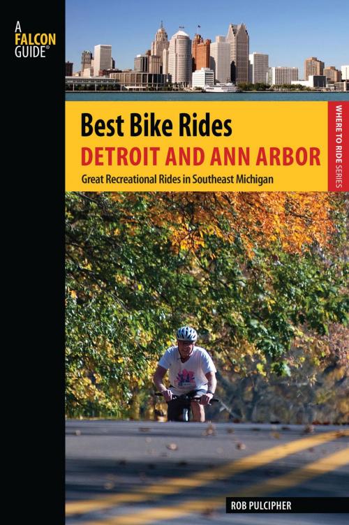
| Author: | Rob Pulcipher | ISBN: | 9781493009664 |
| Publisher: | Falcon Guides | Publication: | April 1, 2014 |
| Imprint: | Falcon Guides | Language: | English |
| Author: | Rob Pulcipher |
| ISBN: | 9781493009664 |
| Publisher: | Falcon Guides |
| Publication: | April 1, 2014 |
| Imprint: | Falcon Guides |
| Language: | English |
Hidden in and around the Detroit and Ann Arbor area are some great roads, trails, and bike paths that are fun to explore. Best Bike Rides Detroit and Ann Arbor describes 40 great recreational rides in the metro areas. With most rides between 5 and 35 miles—including road rides, rail trails, bike paths, and mountain bike rides—it’s easy to find a ride that suits your tastes. Each route includes complete directions, a map, a text description of the area you’ll be riding, the GPS coordinates of the start/finish point, and color photos of one the ride’s features. Also included is information on local restaurants, lodging, maps, bicycle shops, other facilities for cyclists, and community resources.
Look inside to find:
• Detailed maps and directions
• Rides that explore the urban areas as well as the surrounding country
• A variety of rides, most between 5 and 35 miles in length
• In-depth information about each ride, including length, terrain,
traffic conditions, and road hazards
• Interesting facts about each area
• Options to create longer or shorter rides