Training Circular TC 3-34.80 Army Geospatial Guide for Commanders and Planners February 2019
Nonfiction, Reference & Language, Reference, Research, Science & Nature, Technology, Military Science, Guides & Handbooks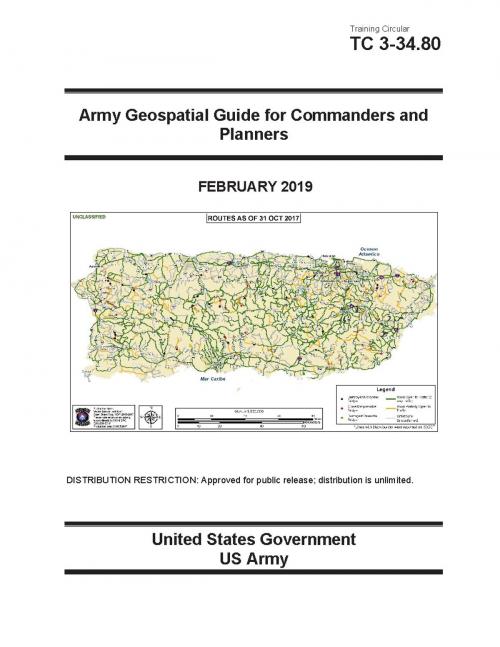
| Author: | United States Government US Army | ISBN: | 1230003110300 |
| Publisher: | eBook Publishing Team | Publication: | March 1, 2019 |
| Imprint: | Language: | English |
| Author: | United States Government US Army |
| ISBN: | 1230003110300 |
| Publisher: | eBook Publishing Team |
| Publication: | March 1, 2019 |
| Imprint: | |
| Language: | English |
Geospatial engineering is the generation, management, analysis, and dissemination of positionally accurate environmental information tied to a place, area, or feature on an earth coordinate system. It is a powerful combat multiplier when used effectively. Geospatial engineers provide the Soldier with base map data for their COP, tactical decision aids, and mission-tailored terrain visualization products enabling commanders and staffs to determine operational impacts. Geospatial engineers do not follow a typical training/operational cycle, they are always in an operational mode preparing data and products for their commander’s area of interest (AOI) or the next supported mission.
Military leaders must understand how the terrain and environment will influence their operational capabilities before they enter the fight. The geospatial engineer is there to enhance your understanding of where the terrain is advantageous or disadvantageous to mission success.
This publication, Training Circular TC 3-34.80 Army Geospatial Guide for Commanders and Planners February 2019, is designed and developed by current and former senior geospatial engineers
to help commanders and staff planners understand the capabilities of geospatial engineering and how to incorporate their capabilities into mission planning and execution. So you can see first, understand first, act first, and finish decisively.