| Author: | Doug Gelbert | ISBN: | 9781458169532 |
| Publisher: | Doug Gelbert | Publication: | March 5, 2011 |
| Imprint: | Smashwords Edition | Language: | English |
| Author: | Doug Gelbert |
| ISBN: | 9781458169532 |
| Publisher: | Doug Gelbert |
| Publication: | March 5, 2011 |
| Imprint: | Smashwords Edition |
| Language: | English |
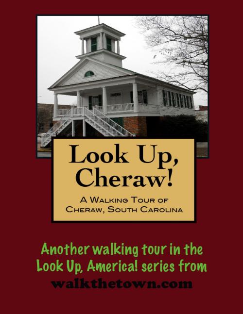
There is no better way to see America than on foot. And there is no better way to appreciate what you are looking at than with a walking tour. This walking tour of Cheraw, South Carolina is ready to explore when you are. Each walking tour describes historical, architectural landmarks, cultural sites and ecclesiastic touchstones and provides step-by-step directions.
Every tour also includes a quick primer on identifying architectural styles seen on American streets.
Sitting at the head of navigation on the Pee Dee River, this has long been a place of desirable habitation. The first residents were the Cheraw and Pee Dee Indians whose numbers were greatly reduced by disease by the 1730s. European settlers - mostly English, Scots, French or Irish - were populating the region by that time and in 1750 Cheraw was one of six places in South Carolina that appeared on English maps.
Joseph and Eli Kershaw came to the area in the 1760s and obtained a land grant for much of present-day Cheraw. They formally laid out the street system with broad thoroughfares and a town green. They called the town “Chatham” after William Pitt, the Earl of Chatham, but the name never seemed to take and was just as often referred to as “Cheraw,” the dominant tribe along the upper Pee Dee River who maintained a well-fortified village here. When the town was officially incorporated in 1820, Cheraw became the official name.
By that time steamships began to ply the Pee Dee River and the town was launched into a golden age. Corn, tobacco, rice and indigo passed across the wharves. The cotton market in Cheraw was the largest between Georgetown and Wilmington. Many of the town’s landmark buildings today date to that era, despite a fire that swept through the business district in 1835. By the time of the Civil War Cheraw was a prosperous river town that served as the regional center of business, education, culture and religion. During the war the town became a haven for refugees and a storage place for valuables and military stores. In the last months of the conflict, with William Tecumseh Sherman marching north from Savannah to join Union troops in North Carolina, more federal troops occupied Cheraw than any other South Carolina town. Aside from an accidental explosion, however, no public buildings or dwellings were destroyed.
Today’s Cheraw streetscape blends antebellum housing stock with Victorian and Revival buildings from the beginning of the 20th century. Our walking tour will begin on the original town green from two-and-one-half centuries ago, at the statue of Cheraw’s most illustrious citizen. Few towns have ever sent such an enthusiastic and recognizable emissary into the world...
